
Match Burien Previous Residents to the Right Era
The backward trail changes at several Burien record boundaries. Start with the newest reliable source that covers the question, then move into older indexes, cards, directories, and newspapers. This era map prevents a missing online image from being mistaken for a missing record.
| Source | Years It Covers | Where Held | What It Shows |
|---|---|---|---|
| General Recordings Index | 1853 to 1975 | King County Archives microfilm | Grantor, grantee, date, and recording number |
| Landmark index | 1976 to current | King County Recorder online | Recorded instruments and parties; parcel mode from 1997 |
| Landmark images | Most from August 1, 1991 | Recorder online | Scanned instruments; certified and plain copy routes |
| Property cards | 1937 to 1972 | Puget Sound Regional Archives | Parcel, structure, and ownership context |
| Burien directories | 1962 to 1963, 1967 to 1968, 1970 to 1975 | Washington State Library | Dated person and address listings |
| Seattle Suburban South directories | 1976 to 1983, 1985, 1987, 1991 | Washington State Library | Suburban Burien-area listings |
| Federal census | Public releases through 1950 | NARA, Census, and library resources | Household members and enumeration context |
| Highline Times microfilm | July to December 1968 confirmed | KCLS | Notices, local stories, and obituaries |
For a recent transfer, start with the assessor and Landmark. For a mid-century question, property cards and exact directory years become more useful. Earlier work relies on legal description, microfilm, census schedules, probate, and other historical indexes.
Fix Today's Burien Parcel Before Going Back
Begin with the physical address in King County Parcel Viewer. Record the PIN, situs address, jurisdiction, map location, and linked Property Report and Districts Report. Then inspect eReal Property for taxpayer, mailing address, present use, lot area, buildings, and available sale history.
A tax mailing address is a correspondence clue, not proof of occupancy. The person who receives a bill may live elsewhere, act for an estate, or use another mailing destination. Previous residents research becomes more reliable when the worksheet labels situs, taxpayer, mailing address, and recorded owner separately.
Walk Burien Previous Residents Through the Deed Chain
The Landmark recorded-document index is the online core of a Burien previous residents search. It covers recorded documents from 1976 forward. Most images begin August 1, 1991, and parcel search begins in 1997, so its different date boundaries must remain visible in the notes.
- Copy the current owner naming, parcel number, legal description, and likely acquisition date from county property sources.
- Search that owner as grantee near the acquisition date, then open the deed and record every party, date, and instrument number.
- Turn the seller or grantor into the next grantee search to locate that party's earlier purchase of the same property.
- Repeat with alternate spellings, initials, book and page, consideration, and legal search when a name or parcel query fails.
- At the 1976 boundary, move to the Archives General Recordings Index, microfilm, property cards, and legal-description abstracts.
- Grantor and grantee
- The grantor gives or transfers the recorded interest; the grantee receives it.
- Chain of title
- The linked sequence of recorded transfers for the same legal property.
- Legal description
- The lot, block, plat, tract, or other land wording that can survive a street-name change.
The captured Landmark search interface shows where the deed portion of this Burien previous residents trail begins.
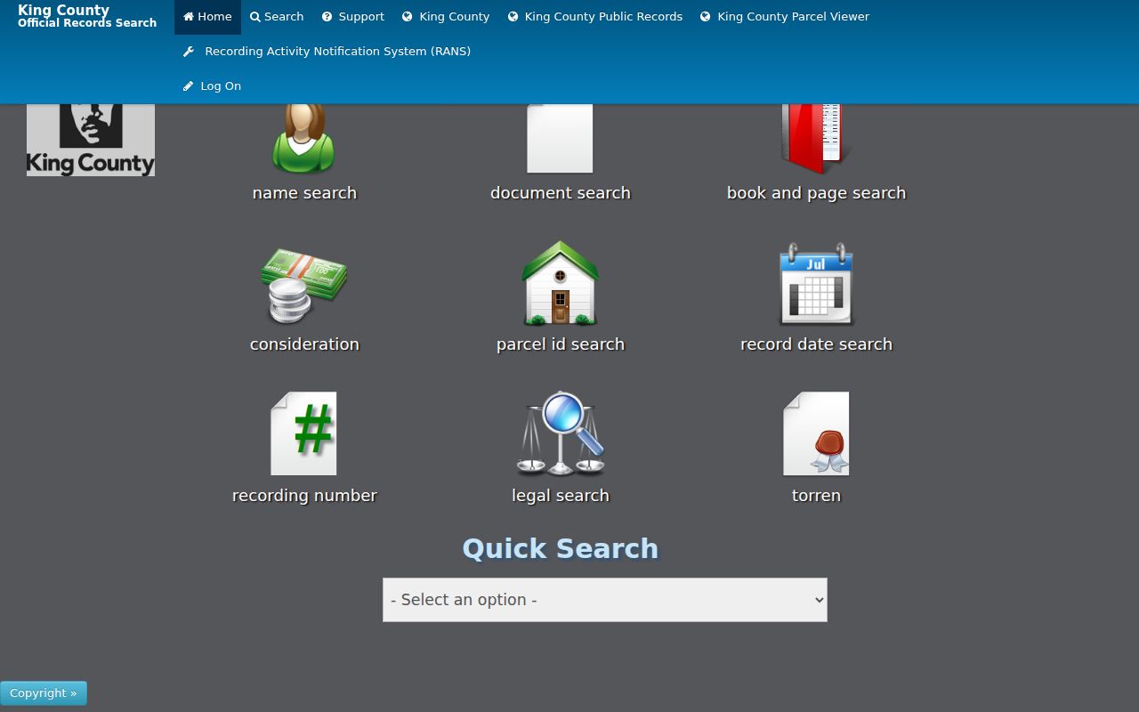
Its result is evidence of a recorded interest, not a statement that the named party occupied the site.
Bridge Burien Previous Residents Across Online Gaps
The King County Archives guide directs older deed work to a physical General Recordings Index covering 1853 through 1975. Its property cards cover every parcel from 1937 through 1972, while legal-description abstracts carry ownership changes through 1990. Together they bridge the period before broad online imaging.
The King County Recorder also supports counter and mail access. At 201 S Jackson Street in Seattle, staff can assist with record access. A mailed copy request can include document type, number, date range, buyer, seller, grantor, grantee, plat, volume and page, or parcel data. That fallback is part of the research method, not an afterthought.
Online users may register, add a result to the cart, and select a certified or uncertified copy. An uncertified copy can be printed through the portal, while a certified order is mailed. If only an approximate year or party is known, give staff the narrowest date range and all known legal details. The Recorder can also be reached at 206-477-6620 or KCROCust@kingcounty.gov, which provides a practical route when a remote index search stalls.
Note: An empty online image result before August 1991 often calls for microfilm or a copy request, not a conclusion.
Follow Burien Previous Residents Along Crosby Road
The former Crosby Road, now SW 146th Street, shows why old labels matter. The Burien Community Center Annex history traces the site through farm and residential land, Chelsea Park Elementary in the late 1940s, its 1976 closure, community-center uses, and demolition in summer 2020.
The property's sequence is richer than a list of previous residents, yet it also protects against false matches. Search both street names, then bridge results with the legal description and parcel history. Store the original wording exactly as printed rather than silently replacing it with today's address.
Keep Burien Previous Residents With Historic Labels
Burien incorporated in 1993, annexed Manhattan and Woodside Park territory in 1998, and added North Highline and Boulevard Park in 2010. A prior record may be indexed under Highline, White Center, Seahurst, North Burien, or unincorporated King County even when the current parcel lies within Burien.
For every address, keep four fields: the historic label used by the source, the postal label, the city-limit label for that date, and the current situs. This prevents a boundary change from being misread as a household move. It also gives library staff and archive staff the period language needed to search finding aids.
Date Burien Previous Residents With Address Changes
The Burien Permit Center maps recent permitted activity, and city guidance confirms address, parcel, and owner-name routes in MyBuildingPermit. For older permits or code files, use a city Public Records Act request with the address, parcel, date span, and record type. A permit can date work or an applicant role, but it cannot by itself name every occupant.
The Washington State Library Sanborn collection preserves maps on microfilm that can show buildings, roads, construction, and infrastructure. Exact Burien sheet years were not confirmed in the source research, so contact the library about the desired place and period before planning a map search.
Physical changes can help explain why an old household disappears from the same street number. Compare the mapped building footprint, permit date, parcel description, and directory entry without assuming that one caused the other. If the address was split, combined, rebuilt, or renamed, follow the legal description into the Recorder index and property cards. That Burien-specific sequence keeps structural history separate from evidence about previous residents while still showing where the two trails meet.
Find Burien Previous Residents in Local Archives
Burien Library has a microfilm and microfiche reader plus the Northwest Collection's maps, clipping files, books, periodicals, and regional media. The confirmed Highline Times microfilm span is July through December 1968; a complete run was not established. A specific address, name, and year will produce a better staff inquiry than a broad request for a house history.
Highline Heritage Museum adds photo, newspaper, obituary, oral-history, school, road, and personal-paper finding aids, with research collection access by appointment. These sources can explain how a place was known and connect a name to a community story. A deed or other primary record should still confirm claims about ownership.
Ask each institution for what it actually holds. Burien Library supplies local equipment and the Northwest Collection, the Washington State Library identifies the precise printed directory runs, and the Museum supplies Highline-focused finding aids. This three-stop route avoids assuming that one shelf contains the entire Burien previous residents trail. It also lets a researcher move from a dated address listing to a clipping, photograph, obituary, or school reference without losing the original citation.
The captured Burien Library page identifies the local facility supporting previous residents research.
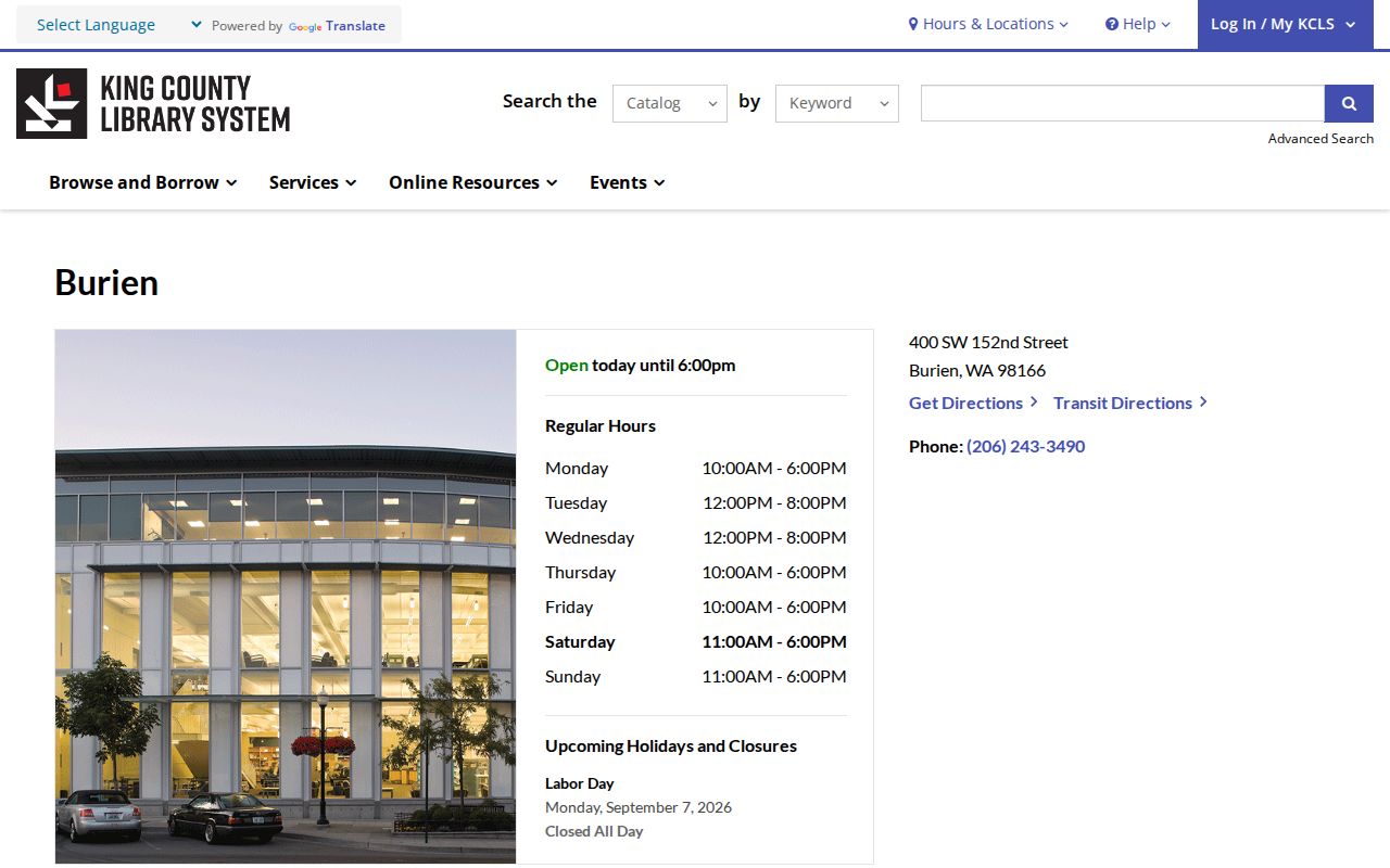
This local access point complements, rather than duplicates, the exact directory holdings at the Washington State Library.
Pair Burien Directories, Census, and Obituaries
Owners are only one layer of who lived here before. The Washington State Library lists Burien directory runs for 1962 to 1963, 1967 to 1968, and 1970 to 1975, followed by Seattle Suburban South runs for 1976 to 1983, 1985, 1987, and 1991. The collections and how to read them are covered on the Burien city directory page.
- Choose the closest available directory year and copy the entry exactly, including its place and street label.
- Check the prior and next available volumes to bracket when a listed household appears or disappears.
- For a public census year, identify the correct enumeration geography and compare names, ages, relationships, and address order.
- Use newspapers, school material, and marriage or death indexes to test identity without merging same-name people.
- Close an estate-era trail with an obituary, probate file, legal description, and any later recorded transfer.
King County probate images for 1854 through 1927 can identify a deceased person, heirs, and property clues. Marriage indexes span 1855 through 2017, while an obituary may supply family and last-address context. Each clue should keep its source date and descriptive role.
Lawful use. Research Burien previous residents for house history, genealogy, estate work, or personal curiosity. Never use the trail to harass, track, intimidate, or harm a living person.